



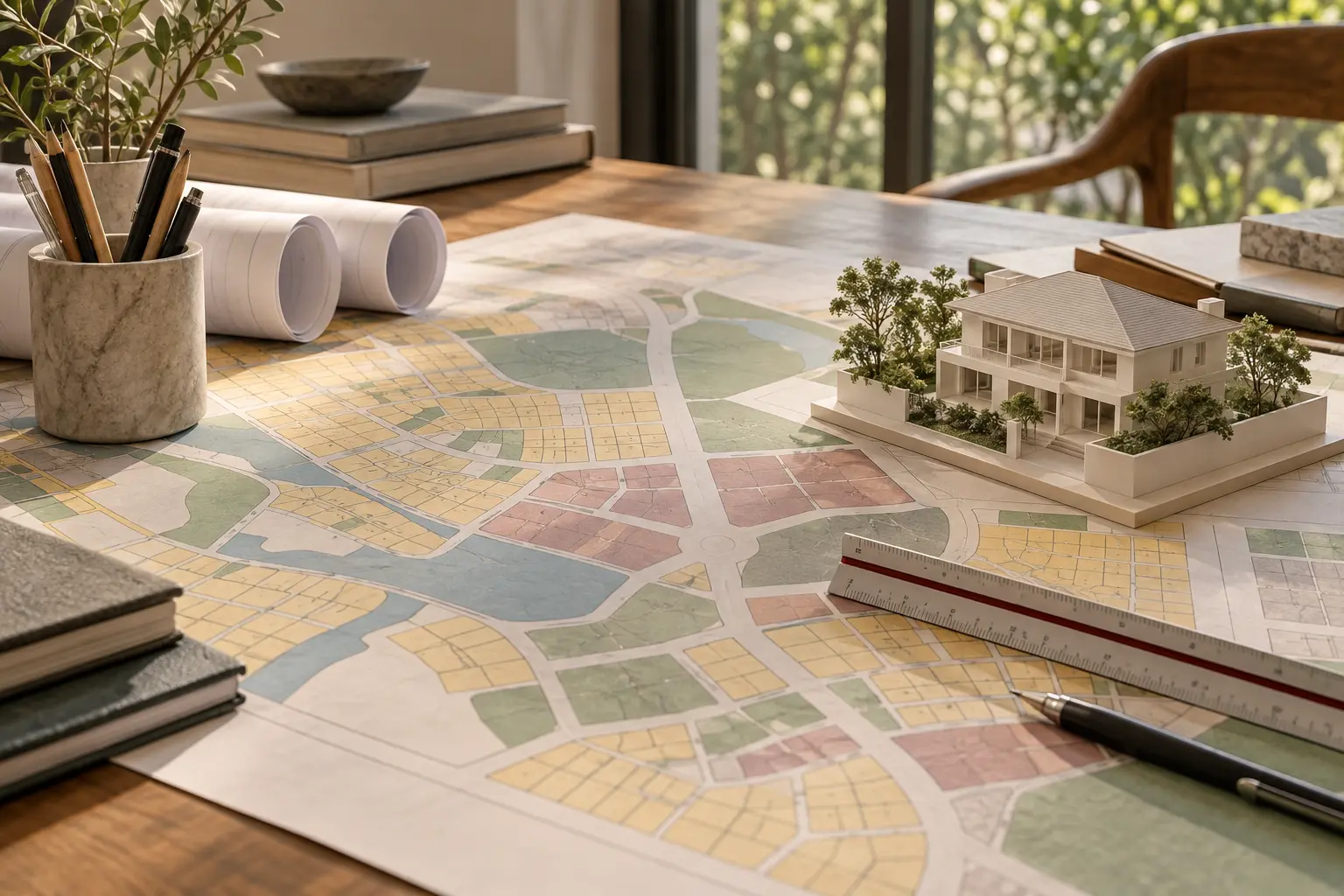
Master Plan and zoning information explains part of the planning context for a Singapore landed plot. To use it properly, identify the correct property, read its land-use designation and check the relevant detailed controls rather than treating a map colour or plot-ratio label as a complete building entitlement.
The exercise supports an early feasibility discussion; it does not replace one. Our guide to plot ratio, setbacks and height explains how several controls interact. Here, the focus is how to gather and interpret the planning information without drawing premature conclusions.
URA gazetted Master Plan 2025 on 1 December 2025. Its announcement directs users to the plan and written statement online. This makes it important to check the source and date of a saved map rather than assuming every circulated screenshot represents the current planning position.
URA also maintains an amendments page with proposed and gazetted approved changes. Those statuses are different. If an amendment is relevant to the site, establish which stage it has reached and what information is actually in force.
Begin with the property identity. Use the address and available lot information to locate the correct parcel in URA SPACE. Check the surrounding streets and plot shape so that an adjacent parcel is not accidentally used as the basis of the assessment.
Save enough context to make the reference useful later: the location, relevant layer, legend and date accessed. A tightly cropped colour patch without its legend can be difficult to interpret. Keep the source link with the record so the information can be checked again as the project develops.
The land-use layer provides a broad planning category. Read its legend and the relevant written information rather than interpreting colour from memory. The category informs the enquiry, but additional controls may determine what kind of development and building form can be considered.
For a landed-home purchase, ask the architect what the designation means for the actual intended proposal. Avoid moving directly from a familiar residential label to an assumed number of rooms or floors. Those outcomes require a more detailed assessment of the site and applicable requirements.
Review the relevant landed-housing, height and other site-specific controls available through official information. The professional assessment should establish which requirements apply and how they interact. Conservation or other particular constraints may change the questions that a general residential map appears to answer.
This is where a simple plot-ratio calculation can mislead. URA’s landed envelope framework addresses permissible form through controls such as height and setbacks. Ask how the applicable rules translate into a site plan and section rather than multiplying land area by a convenient number and stopping there.

A planning map helps identify the regulatory context. A survey supplies measured information needed to test a design. Neither should be treated as a substitute for the other. A small difference in a critical dimension or level can matter once rooms and circulation are placed on the plot.
For example, a broadly rectangular parcel may still have a frontage relationship that complicates access. The map can prompt the right questions, while the survey and relevant technical information help resolve them. Keep those evidence sources connected but clearly identified in the feasibility record.
Road safeguarding is another distinct check. LTA explains how Road Line Plans communicate safeguarded road information. A current planning-map screenshot should not be used to dismiss the need for the appropriate lot-specific road information.
A nearby taller house may reflect different controls, site levels or approval history. Its presence can help frame an enquiry, but it does not establish that your proposal can reproduce the same form. Record the observation as a question for the team rather than as a settled design parameter.
The same care applies to neighbouring land use. Planning information can help you understand the surrounding context, but it should not become a guarantee about a permanent view or a particular future development date. Ask what is established and what remains subject to separate decisions.
Organise the findings under property identity, land use, detailed controls, relevant amendments and unresolved enquiries. Attach the source references and access dates. This provides a clearer handover to the design team than a collection of screenshots with no explanation of why each one matters.
Then connect the brief to the household requirements. The building-envelope assessment should test how those controls affect usable space. A planning label becomes practically meaningful when its implications appear in the proposed arrangement of the home.
Ask your architect to explain any apparent conflict between maps, existing records and the intended proposal. Legal ownership and title matters need the appropriate legal checks as well. Bring the planning references and household brief to Joya Architects to establish the next feasibility questions.
URA announced that Master Plan 2025 was gazetted on 1 December 2025. Use the current official plan and check relevant amendments rather than relying on an earlier draft screenshot. The status of a particular amendment also matters, because a proposed change and an approved change are not equivalent.
Not on its own. Land-use zoning must be read with the applicable detailed controls, including landed-housing and height requirements. Ask the architect to establish the site-specific position and show its implications in section. A general residential designation is not a complete description of permissible building form.
Do not rely on that calculation alone. The applicable landed-housing controls, setbacks, levels and physical site conditions can shape the feasible building form. Ask the project team to explain the relevant framework and test a coordinated plan and section before treating a theoretical area as usable accommodation.
No. Planning maps, measured surveys and legal property records serve different purposes. Use the appropriate professionals to establish boundaries, ownership matters and the planning position. Keep those evidence sources distinct in the feasibility brief so one type of information is not mistaken for confirmation of another.